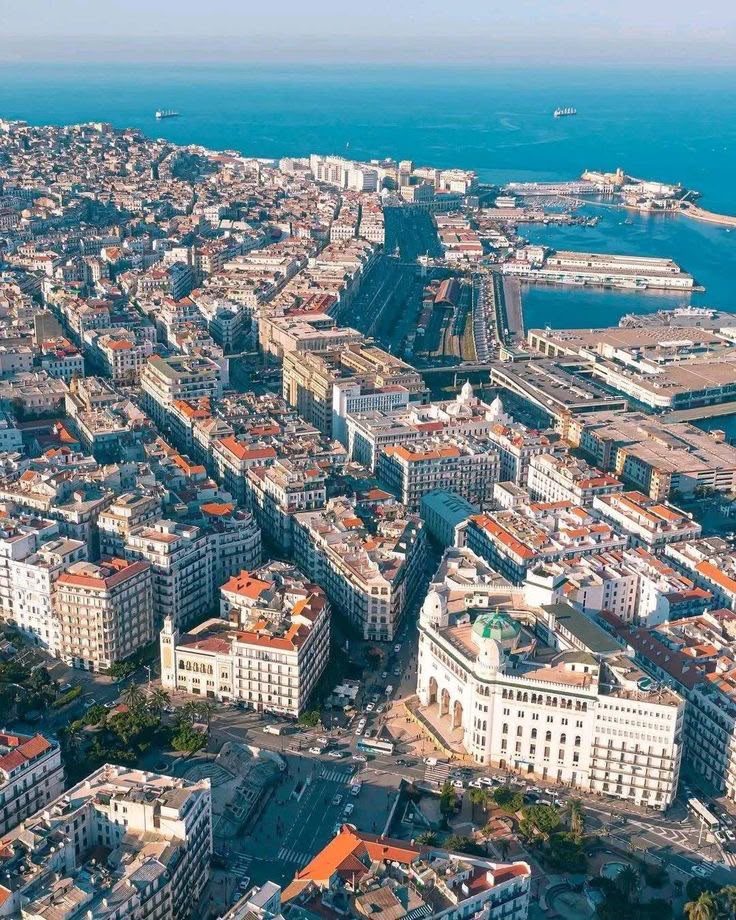
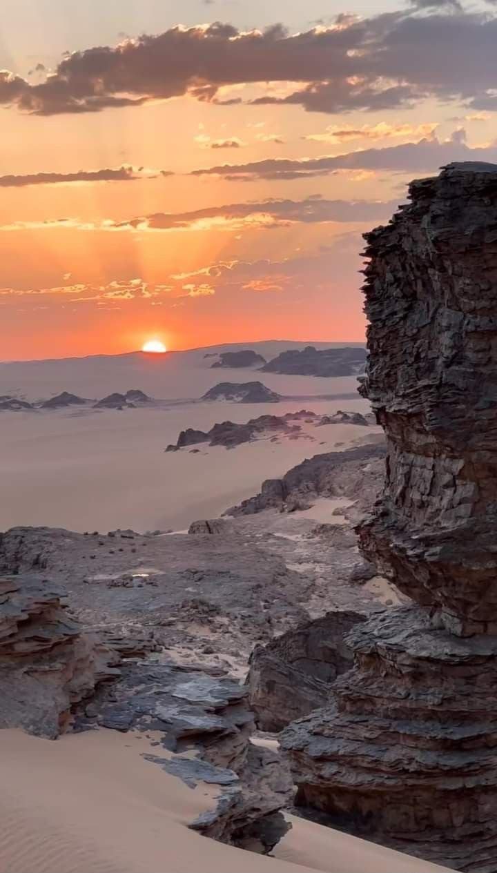
The largest country in Africa, spanning the Mediterranean coast, the Tell Atlas, the High Plateaus and the vast Sahara.
- Coordinates
- 28.034, 1.660
Convert curiosity into a confident, well-planned trip.
Algeria Travel Planning is one of Algeria Compass's 16 content clusters: When to go, how to get around, what to budget and how to prepare for Algeria. It connects 26 knowledge-graph entities with 7 page(s) and links to 14 related clusters.
The largest country in Africa, spanning the Mediterranean coast, the Tell Atlas, the High Plateaus and the vast Sahara.
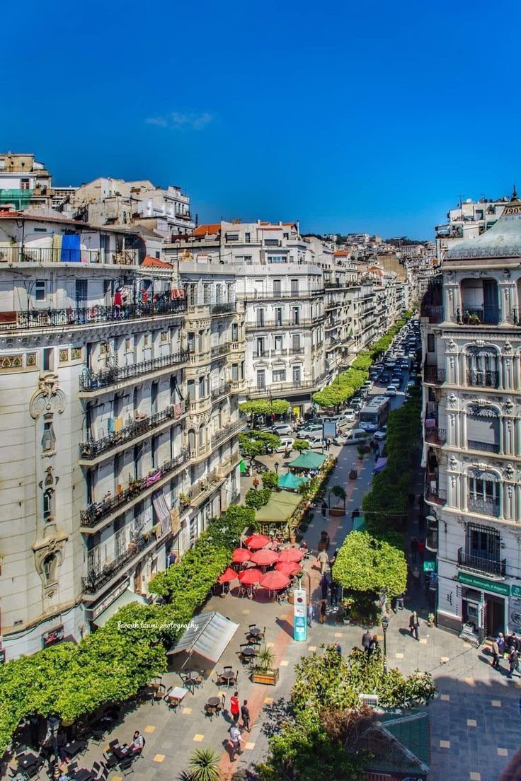
Algiers, Oran, Constantine and others.
Air Algérie and others link cities and Saharan towns.
The national rail network across the north.
Coaches between cities.
Shared inter-town taxis.
A calm, evidence-based look at safety in Algeria: crime, road and desert risks, women and family travel, regional differences, scams, emergencies and what official advisories actually say.
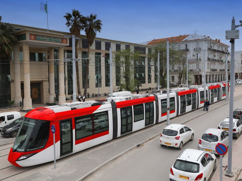
How to move around Africa's largest country: domestic flights, trains, buses, shared taxis, trams, private drivers and desert 4x4 — with routes, travel times, costs and booking advice.
Who needs a visa for Algeria, which type to apply for, the documents and fees involved, processing times, the special case of the far-south desert, and how to avoid the common reasons for refusal.
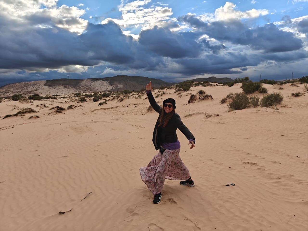
Algeria holds the largest slice of the Sahara of any country on earth — and almost no crowds. Here is how to actually experience it.
Algeria has three climates at once. This month-by-month and region-by-region guide shows exactly when to go for the coast, the cities, the mountains and the Sahara — and which months to avoid.
Africa's largest country, from the Mediterranean coast to the deep Sahara: when to go, how to get in and around, what it costs, and how to plan a first trip with confidence.