The largest country in Africa, spanning the Mediterranean coast, the Tell Atlas, the High Plateaus and the vast Sahara.
- Coordinates
- 28.034, 1.660
Capture the photography-travel audience.
Algeria Photography is one of Algeria Compass's 16 content clusters: Where, when and how to photograph Algeria, respectfully. It connects 30 knowledge-graph entities with 5 page(s) and links to 13 related clusters.
The largest country in Africa, spanning the Mediterranean coast, the Tell Atlas, the High Plateaus and the vast Sahara.
UNESCO World Heritage Site (inscribed via list ref 179) in Tassili, Algeria.
The Mediterranean heartland around the capital — Algiers, the Mitidja plain and the central coast.
The Amazigh mountain-and-coast region east of Algiers: the Djurdjura, Tizi Ouzou and the Béjaïa–Jijel coast.
The Constantinois and Aurès: Constantine, Sétif, Annaba and the Roman north-east.
The west around Oran and Tlemcen, heartland of Algeria's Andalusian heritage.
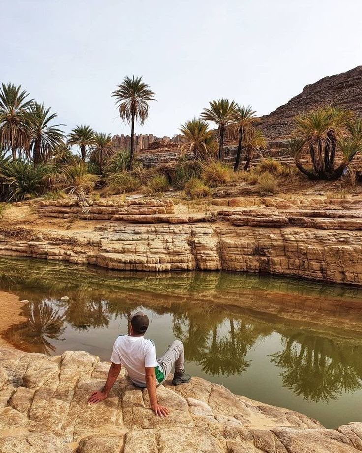
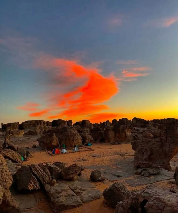
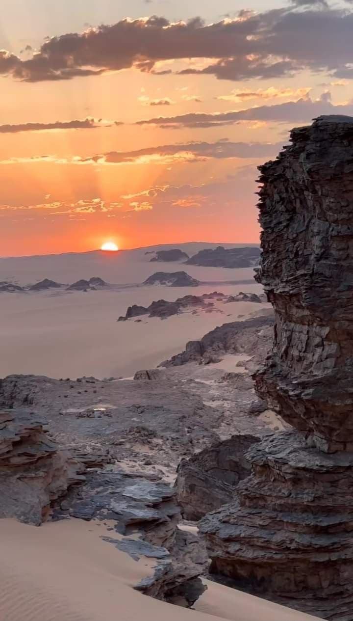
Djanet is an oasis town in south-east Algeria, the gateway to the Tassili n'Ajjer plateau (UNESCO) and the red dunes of the Tadrart Rouge — Algeria's premier Sahara destination.
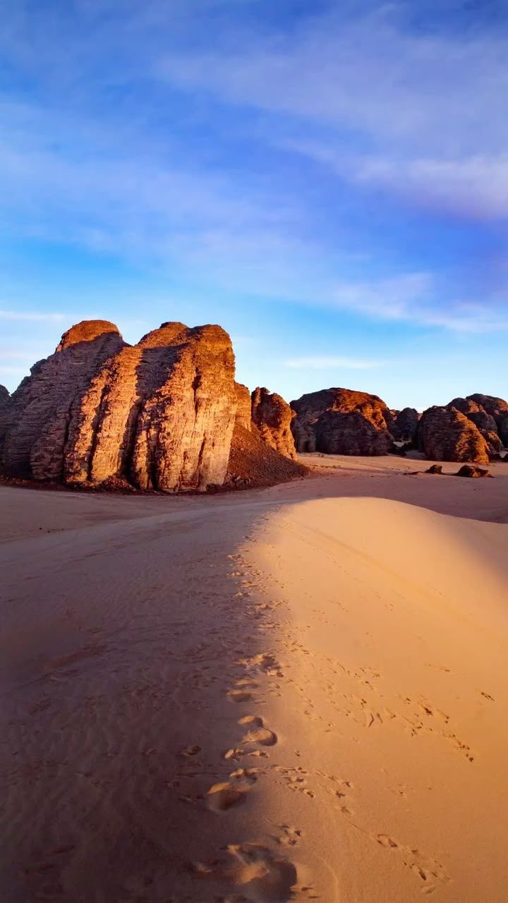
Tassili n'Ajjer is a vast sandstone plateau in south-east Algeria, a UNESCO World Heritage Site holding around 15,000 prehistoric engravings and paintings that record a once-green Sahara. Reached from Djanet, it is one of the world's greatest open-air galleries of rock art.