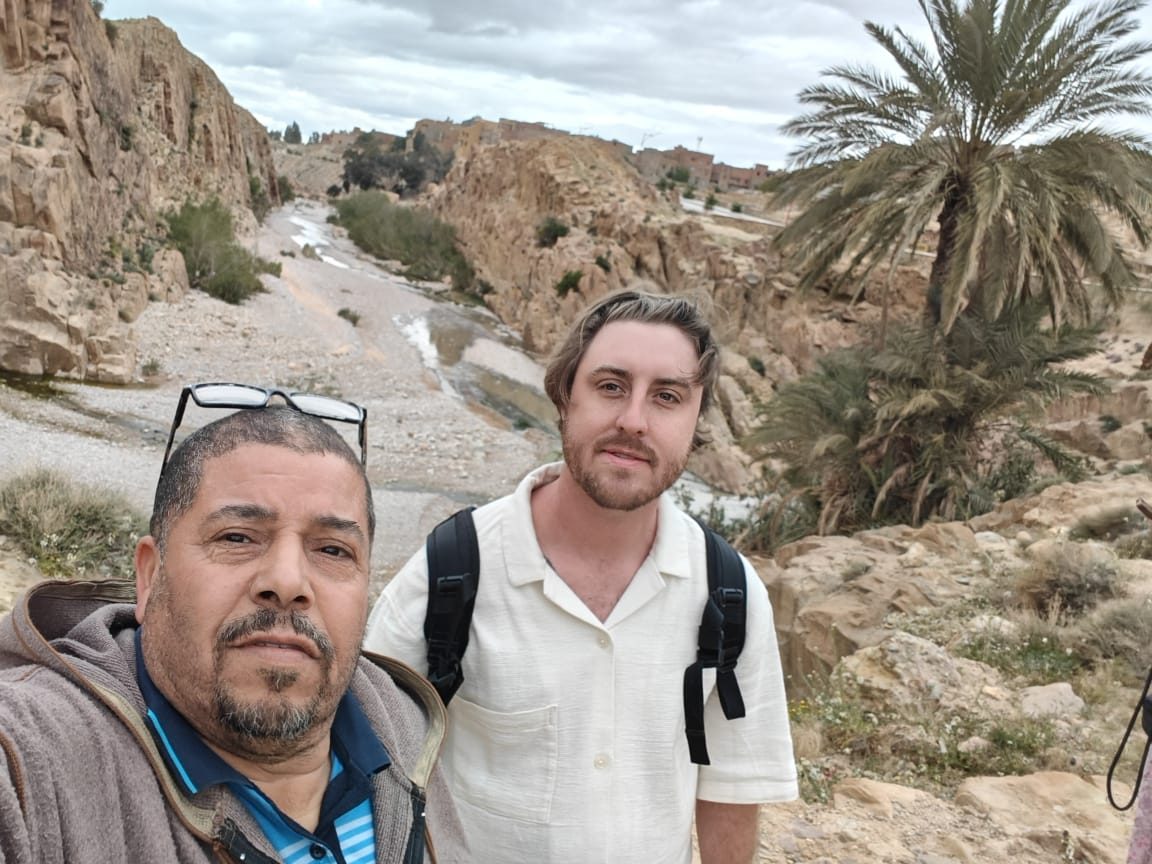
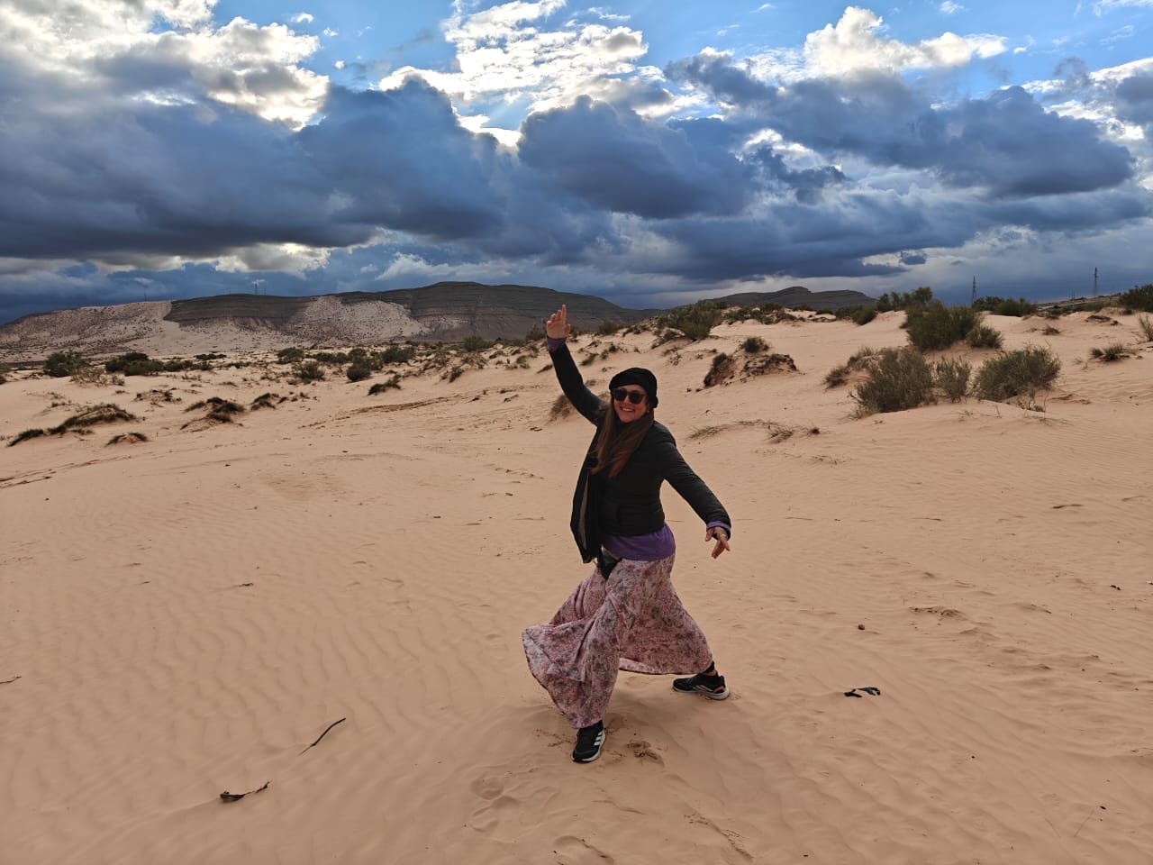
The largest country in Africa, spanning the Mediterranean coast, the Tell Atlas, the High Plateaus and the vast Sahara.
- Coordinates
- 28.034, 1.660
Own Algeria mountain-travel search.
Algeria Mountains is one of Algeria Compass's 16 content clusters: The Djurdjura, Aurès, Hoggar and Atlas ranges and their parks. It connects 27 knowledge-graph entities with 1 page(s) and links to 13 related clusters.
The largest country in Africa, spanning the Mediterranean coast, the Tell Atlas, the High Plateaus and the vast Sahara.
The Mediterranean heartland around the capital — Algiers, the Mitidja plain and the central coast.
The Amazigh mountain-and-coast region east of Algiers: the Djurdjura, Tizi Ouzou and the Béjaïa–Jijel coast.
The Constantinois and Aurès: Constantine, Sétif, Annaba and the Roman north-east.
The semi-arid Hauts Plateaux and Hodna between the Tell and the Sahara.
The deep Sahara: the Hoggar, the Tassili, and the Saoura and Touat oases of the south-west.