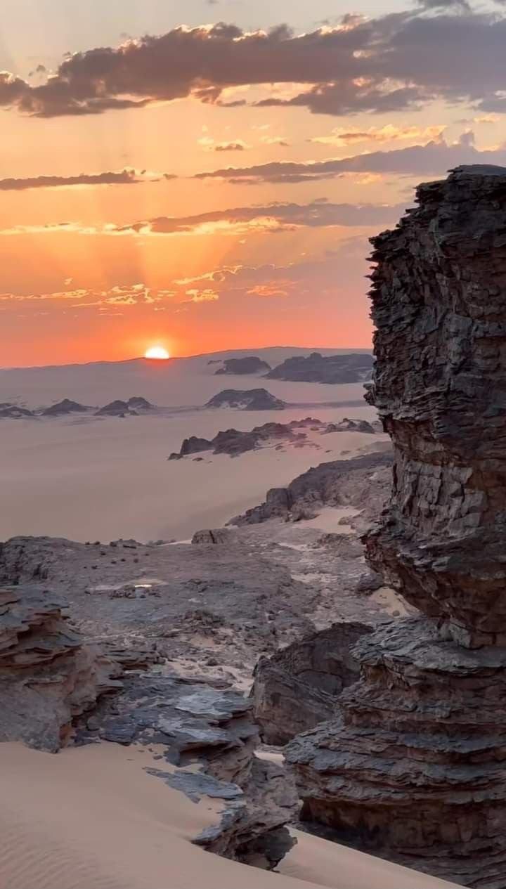
The largest country in Africa, spanning the Mediterranean coast, the Tell Atlas, the High Plateaus and the vast Sahara.
- Coordinates
- 28.034, 1.660
Own Algeria coastal-travel search.
Algeria Beaches & Coast is one of Algeria Compass's 16 content clusters: Algeria's 1,600 km Mediterranean coast, beaches and coastal cities. It connects 19 knowledge-graph entities with 3 page(s) and links to 13 related clusters.
The largest country in Africa, spanning the Mediterranean coast, the Tell Atlas, the High Plateaus and the vast Sahara.
UNESCO World Heritage Site (inscribed via list ref 193) in Tipasa, Algeria.
The Mediterranean heartland around the capital — Algiers, the Mitidja plain and the central coast.
The Amazigh mountain-and-coast region east of Algiers: the Djurdjura, Tizi Ouzou and the Béjaïa–Jijel coast.
The Constantinois and Aurès: Constantine, Sétif, Annaba and the Roman north-east.
The west around Oran and Tlemcen, heartland of Algeria's Andalusian heritage.
Béjaïa is a coastal province in Kabylie where the Djurdjura mountains plunge straight into the Mediterranean. It's known for Gouraya National Park, the clifftop Cap Carbon lighthouse, the scenic Corniche beaches, deep Kabyle (Amazigh) culture, the dramatic Kherrata gorges, and a layered history — including its medieval role in transmitting Arabic numerals to Europe and the pivotal Soummam Congress of 1956.
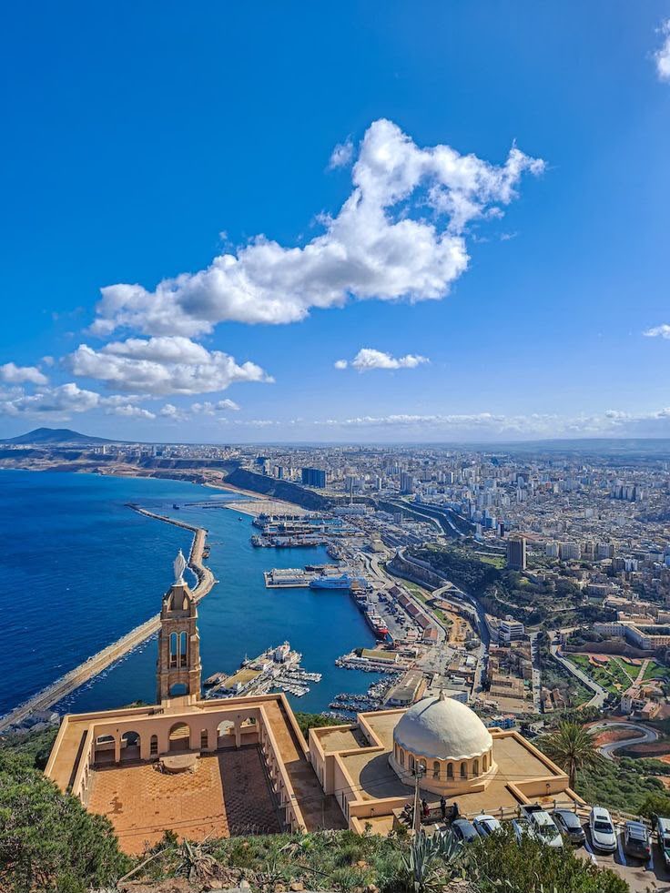
Oran is Algeria's vibrant second city — a Mediterranean port on the west coast with a strong Spanish and Andalusian imprint, the birthplace of raï music, the Spanish-built Santa Cruz fort above the bay, a lively seafront, and easy access to the Andalusian heritage of Tlemcen and the western beaches.