High Kabylie mountain park of cedar forests and peaks.
- Region
- Kabylie
- Located in
- Tizi Ouzou
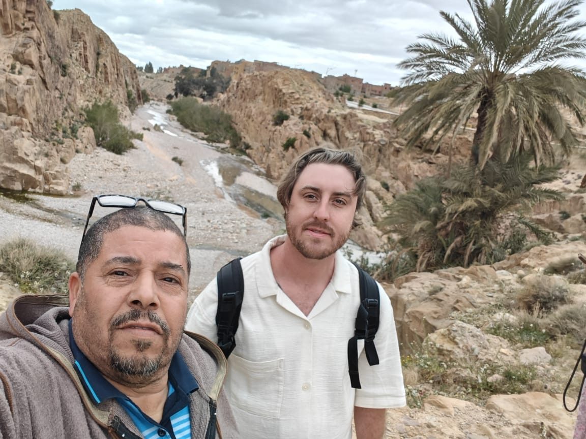
Algeria's mountains run from the cedar peaks of the Djurdjura and Aurès to the Saharan Atlas and the volcanic Hoggar of the deep south.
Algeria Mountains on Algeria Compass brings together 11 mapped entities — national parks, mountains and more — with the destinations, experiences and guides that connect to them.
Algeria's mountains run from the cedar peaks of the Djurdjura and Aurès to the Saharan Atlas and the volcanic Hoggar of the deep south.
High Kabylie mountain park of cedar forests and peaks.
Forested mountain park and ski area south of Blida.
Atlas cedar forest park in the Ouarsenis.
Atlas cedar park in the Aurès near Batna.
A mountain region of Algeria in the kabylie area.
A mountain region of Algeria in the east area.
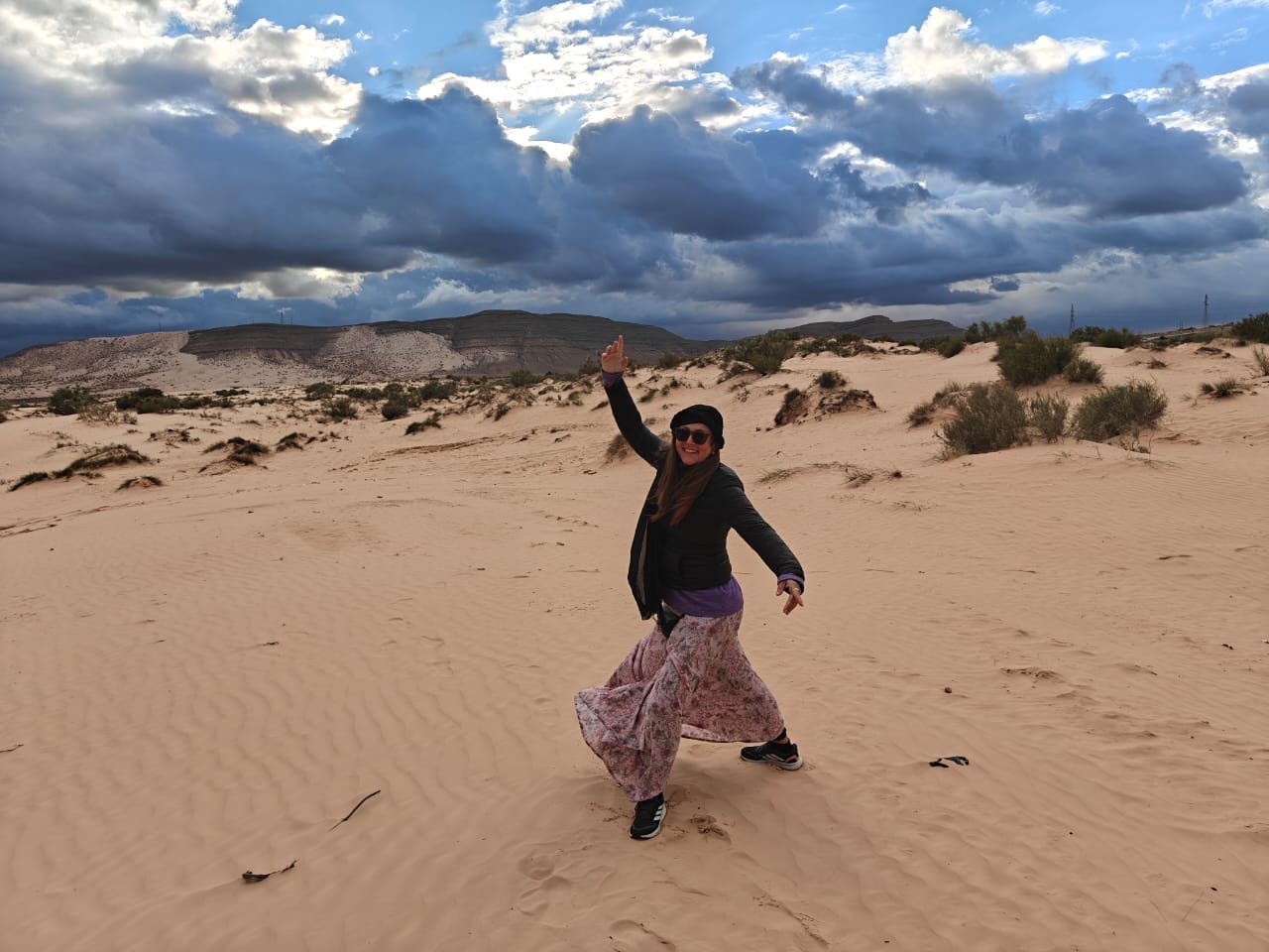
A mountain region of Algeria in the sahara-deep area.
A mountain region of Algeria in the sahara-deep area.
A mountain region of Algeria in the kabylie area.
The Tell Atlas (including the Djurdjura), the Aurès, the Saharan Atlas and the Hoggar massif in the south.
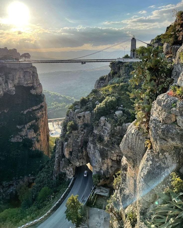
Yes — the Djurdjura, the Aurès canyons around Ghoufi, and the Assekrem in the Hoggar are all trekked.